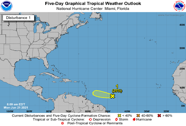
Mérida, Yucatán, (June 22, 2021).- According to the most recent meteorological forecasts, it will be from approximately this Thursday, June 24, when the clouds and the potential for rain would begin due to the passage of a tropical wave over the peninsula, and a trough over the area.
According to the meteorologist Juan Vázquez Montalvo, as of next Thursday, June 24th, the arrival of a tropical wave will increase the potential for rains, due to a new low-pressure zone with cyclonic potential.
Instability in the central Caribbean will be activated, so the rains will gradually return from midweek.
The predictions indicate that these first days of the week will be generally stable and very hot due to the dominance of anticyclonic circulation.
Maximum temperatures of between 35 and 40 degrees are forecast, with higher thermal sensations, which will change when the rains begin from Thursday or the weekend.


