The next winter storm is already on the move and is expected to bring heavy snow, blizzard conditions, strong winds, potential tornadoes, and serious flooding as it carves a path from the Southwest to the Northeast through midweek.
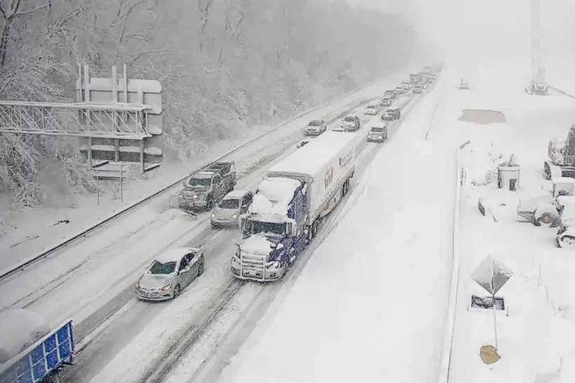
Snow is still falling from the first big winter storm of the season. It dumped more than a foot of snow on the Northeast and brought rain, snow, ice – and even the year’s first tornado – as it tracked from the Gulf Coast to Maine.
With this system largely ending on Sunday, attention turns to the next one. It is expected to rapidly strengthen into an exceptionally powerful January storm and cause widespread, significant impacts east of the Rockies beginning Monday.
More than 10 million people are under winter weather alerts from California to Illinois. Millions more will be impacted by the storm’s threats on its warm side.
Although this will be a fast-moving system, traversing over 1,800 miles in 72 hours, it will still produce notable snowfall across more than half a dozen states.
Widespread snowfall accumulations of at least 6 inches are expected from northern New Mexico to the Upper Peninsula of Michigan.
Heavy snow and strong winds will create blizzard conditions Sunday as the storm exits Arizona and heads to the Texas and Oklahoma panhandle region Sunday night. Blizzard warnings were already hoisted in Colorado and New Mexico early Sunday morning.
Poor visibility and difficult-to-near-impossible driving conditions will set in for the Southwest on Sunday, the central and southern Plains on Monday, and the Midwest on Tuesday.
Strong winds will also bring wind chill values below zero degrees for some locations in the Plains.
Snow and cold temperatures will not be the only concerns as the storm surges northeast, intensifies, and expands its reach to much of the eastern half of the US into the middle of the week.
Flooding, damaging winds and even tornadoes will also be concerns.
Along the Gulf Coast, warm, moist air will fuel the threat for severe storms, including a few strong tornadoes and damaging winds.
More than 15 million people are under a severe storm threat Monday from Texas to Florida. Over 35 million people are under the same threat level Tuesday from the Panhandle of Florida to the Outer Banks of North Carolina.
An equally serious concern is the potential for significant flooding from the storm’s strong winds blowing water onshore and its potent rainmaking storms.
“Widespread and potentially significant river and flash flooding are likely from the central Gulf Coast through much of the Eastern U.S. early this week,” the Weather Prediction Center said. “Powerful onshore winds will lead to widespread coastal flooding along the eastern Gulf Coast and much of the East Coast.”
TYT Newsroom


