

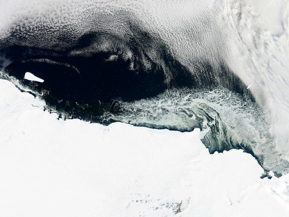
Scientists have discovered an ancient river landscape hidden beneath the East Antarctic Ice Sheet
Global warming could reveal an ancient river landscape that has been preserved underneath the East Antarctic Ice Sheet for million of years, according to a new study.
While a massive ice retreat on the continent has not yet touched the ancient landscape, that may change in the future with projected climate warming, according to the paper, published Tuesday in Nature Communications.
Ice has been present in Antarctica for about 34 million years, but before then the continent was comparatively warm, with a climate similar to modern-day southern South America, such as the Patagonia region in Argentina and Chile, says Stewart Jamieson, author of the study and who researches ice sheet behavior, long-term and landscape evolution at Durham University in the U.K. There is evidence that at one point, there was tropical vegetation, including palm trees, in Antarctica, Jamieson told ABC News.
Scientists recently discovered a large river-carved landscape in Antarctica that existed during that time, located in the Aurora-Schmidt basins inland of the Denman and Totten glaciers. The river would have drained out from the middle of the continent toward the coast between 34 million to 60 million years ago, at a time when other modern-day continents like Australia and India would have been separating away from Antarctica and the Gondwana supercontinent, Jamieson said.
The landscape, estimated to have been buried beneath the ice shelf for between 14 million to 34 million years, was found by using satellites and ice-penetrating radar.
Researchers knew a lot about the topography underneath the ice sheet prior to the development of this technique by flying planes equipped with radar to see the shape of the landscape underneath, Jamieson said. However, the planes can’t fly everywhere, so there were large gaps in between where the planes have flown and have taken measurements, he noted.
CLICK HERE TO READ THE FULL ARTICLE ON ABC
TYT Newsroom
TYT Newsroom
