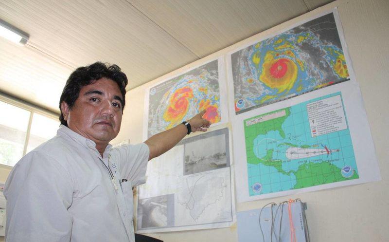
Mérida, Yucatán (November 3, 2020).- Nicaraguan authorities announced that the center of Hurricane “Eta” entered the south of Puerto Cabezas, in an area known as Haulover.
According to Juan Vázquez Montalvo, meteorologist of the Institutional Committee for the Attention of Extreme Meteorological Phenomena of UADY, the hurricane will slowly cross Nicaraguan territory for a period of approximately 48 hours, and the expected destruction will be of enormous proportions, hoping that the population has already prepared and the deaths caused by Hurricane “Mitch” in 1998, which were thousands, will not be repeated.
So far, it is not known precisely what “Eta” will do when it “jumps” into the Caribbean Sea again, so the authorities and the population in the Yucatan Peninsula must be aware of the development of this dangerous weather phenomena.
Synopsis
The hurricane “Eta” of category 4 on the Saffir-Simpson scale has become a very powerful and dangerous hurricane, which was this morning in the Caribbean Sea about to enter land, 45 km southeast of Puerto Cabezas, Nicaragua; it has sustained winds of 230 km / h with greater gusts, moves west and southwest at 6 km / h and has a barometric pressure of 936 hPa.
The Nicaraguan authorities have reported that the hurricane has already made landfall, and it is expected to maintain its direction towards the west and southwest during the morning of this Tuesday and in the afternoon change its movement towards the west and northwest.
On the predicted trajectory, once it enters land due to its very slow movement, it will remain over Nicaragua today and tomorrow, Wednesday, and until Thursday morning it will enter Honduras from the eastern part. It is also expected to weaken once it enters land.
At the moment, hurricane “Eta” does not represent a danger for the Yucatan peninsula, but the consensus of long-term models indicates that it would go out to the Caribbean Sea again and it could reach the southern coast of Quintana Roo by the weekend.
The cone of uncertainty covers the entire southeast and part of the center of the state of Quintana Roo.-


