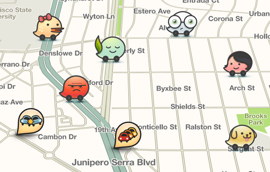
Merida’s Urban Functioning General Coordinator, César Bojórquez Zapata, reported that the City of Mérida offers extensive information on the streets and avenues that are under restoring, and also the alternative routes to avoid those areas through the popular application “Waze” that provides a full roadmap network.
Available for download for free in all types of platforms and telephones; users, guides and general public have in real-time warnings about the works carried out in the streets for Merida’s Street Restoring Program, to know which streets are closed and how to circulate around them.
“This is a GPS service powered by a community of drivers, providing information on traffic, street closures and alternative transit, with modern tools that have been operating successfully for many years in Mexico and around the world,” he explained.
This tool is used by the most modern public transport services such as those contracted through Smartphone applications, it already has more than 70 million users globally and Mexico is the second country with the largest number of users – the first one is Brazil -, highlighting Mexico City as the one with the greatest activity.
Mérida has a growing network of users who report traffic incidents through “Waze”, which keeps them abreast of what is happening, while at the same time feeds on what other guides provide with their daily movement.
Bojórquez Zapata informed that on instructions from Mayor Mauricio Vila, this application will inform in real time to facilitate driving around the first 100 km of streets and avenues that are under restoration, helping the urban mobility.
Data such as changes in road routes, jobs and constructions, estimated time of distance, mishaps, closed streets and even references are provided instantly by the community of users who downloaded the application and feed it instantly. You can get access to the application through logging with your Facebook’s personal account.
Bojórquez Zapata recalled that through its own applications, such as “Mérida Móvil” and the website www.merida.gob.mx, this municipal administration also offers GPS services, online maps, reports of bumps and other problems of public services, and other tools to maintain the contact of the citizen with its city council and offer solutions and channels of communication.
Source: reporteroshoy.mx


2 comments
Cool article great job guys
Such an adorable and lovely post it is. Really appreciate all your hard work. Thank you very much for sharing such a useful post with us.