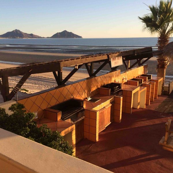
Follow Chuck Bolotin, from Best Places in the World toRetire, as he, his wife, and two dogs drive through Mexico in a large, white van. This is the third story and describes their trip through to San Felipe.
Two bodies of water surround most of the peninsula of Baja California. On the eastern side is the Sea of Cortez (also known as the Gulf of California), while the western side faces the more familiar Pacific Ocean. These watery expanses merge at what looks like the large, natural arch you’ve seen pictures of at Baja’s southern tip, Cabo San Lucas, about 750 miles roughly south of the US-Mexican border. At its widest, the peninsula measures about 85 miles from side to side, and, depending on the route you take from the north to the south, you can experience both coasts, sometimes several times.
We decided to begin our journey on the eastern, Sea of Cortez side of Baja for several reasons, including that, being originally from Los Angeles, I was horrified by the certainty of having to endure mind-numbing, bumper-to-bumper traffic for the hundred plus miles driving through LA and San Diego, and then, topping it off with the possibility of a multi-hour wait to cross into Mexico at Tijuana.
But why drive at all, instead of flying…
Click here for full article.


