

The National Seismological Service (SSN) has confirmed the earthquake of 2.9 magnitude on the Richter scale recorded on Thursday April 7 at 11:50 am, 19 kilometers from Motul, between Dzemul and Dzidzantún.
Although the causes of this tremor, which was imperceptible to the population, are not known, the quake “is not surprising,” says Adriana Gonzalez Lopez, analyst for SSN, interviewed in Mexico City. “The geological conditions of the Peninsula promote this type of phenomenon,” she says.
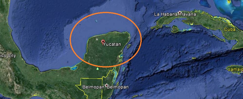
In fact, in the Yucatan Peninsula, an earthquake of low intensity occurs every 12 to 18 months, with its epicenter usually recorded in the southern part of Yucatan state and the coasts of Quintana Roo.
(MAP: beforeitsnews.com)
The last occurred on January 11, 2015, at sea about 67 kilometers from Playa del Carmen, with an intensity of 4.2 degrees.
However, according to SSN records, so far the earthquake near Motul would be the first that has occurred in the northern part of Yucatan state..
“There could be many earthquakes in Yucatan, but we have no equipment to detect them,” said Gonzalez Lopez. “There are only three seismological stations in the Peninsula, one in Merida, which only capture the quakes near them. If we had more stations, we’d know more.”
Geological faults
The SSN explained that in the Peninsula there are two geological faults: La Sierrita, in the south of Yucatan state, and another located on the coast of Quintana Roo. The first, which has already caused low intensity tremors centered in Ticul, has an indeterminate size and depth, for now. The second begins in the Gulf of Honduras and extends parallel to the territories of Belize and Quintana Roo, about 200 kilometers from the coast.
These two faults have caused earthquakes with epicenters in Champoton, Ticul, Felipe Carrillo Puerto, Laguna Paytoro (100 km from Chetumal), and most recently, opposite Playa del Carmen. But there have not been reported quakes in northern Yucatan until recently.
The SSN analyst said that it is “risky” to relate the earthquake near Motul with the start of drilling of the Chicxulub Crater, off the coast of Sisal. “I would not comment on that subject, without having the necessary elements,” she said.
Source: yucatan.com.mx

1 comment
With well over 100 CAFOs now functioning in the Peninsula of Yucatan – it is a marvel there aren’t more earthquakes. They drill many deep wells down to the aquifer to dump overflow of manure that sooner or later something has to give.